
UTM Project Grid
AllA locked UTM projection grid is established from the project origin latitude and longitude. Model geometry uses this common spatial reference.
Product / GIS & Terrain
dhwaniPRO uses a UTM-referenced project environment to position acoustic sources, site features and receptors consistently across a study area.
Georeferenced image overlays and map backgrounds support site representation. Vector and Delta extend this workflow with GIS vector imports, digital terrain models and terrain elevation sampling along propagation paths.
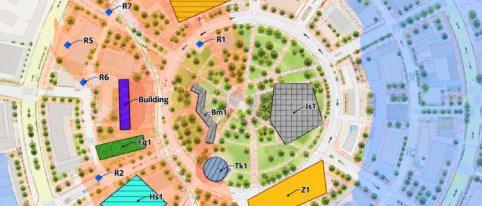
Spatial Data
Use supported spatial references, imagery and geographic datasets to establish the modelling environment.
A locked UTM projection grid is established from the project origin latitude and longitude. Model geometry uses this common spatial reference.
Import supported GeoJSON and ESRI Shapefile datasets into the modelling environment for spatial geometry workflows.
Place PNG, JPEG, TIFF and BMP image overlays using standard World File geocalibration parameters.
Load supported ESRI ASCII Grid elevation data for terrain representation and elevation sampling along propagation paths.
Terrain Modelling
In Vector and Delta, terrain elevations can be integrated into the acoustic model. Terrain can be obtained for a study area or loaded from a supported elevation file. The resulting surface provides ground elevations used in supported propagation calculations.
Use the supported study-area terrain workflow or import an existing ESRI ASCII Grid.
Feature heights are defined in metres above ground level and referenced to the underlying terrain where applicable.
Terrain elevations are sampled along supported propagation paths as part of the calculation geometry.
Spatial Modelling Considerations
Project coordinates, geometry placement and terrain elevations influence the representation of source-to-receptor paths. Imported data should be checked for spatial reference, coverage and elevation consistency before calculation.
Basemap imagery provides visual context; terrain elevation requires supported elevation data. GIS and terrain support varies by edition.
Vector and Delta provide GIS vector import and terrain workflows. Compare their capabilities and licensing conditions before selecting an edition.